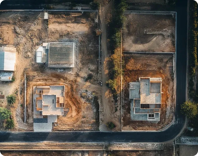
SAT Sentinel
Land ownership comes with risks—encroachments, unauthorized constructions, and disputes. SAT Sentinel provides real-time, AI-powered surveillance, allowing landowners, governments, and businesses to monitor properties 24/7. Our satellite-based solution delivers instant alerts, helping prevent disputes and enabling smarter urban planning.
Landowners | Government | Urban Planners | Real Estate Developers

SAT Optima
Agriculture is unpredictable—droughts, soil health, and pest infestations can impact yields. SAT Optima provides real-time satellite intelligence to track crop health, predict yield trends, and optimize irrigation. With AI-driven insights, farmers and agribusinesses can make informed decisions, leading to higher productivity and sustainable farming.
Farmers | Agri-Tech Companies | Government & NGOs | Agro-Industries

Urban Explorer
Rapid urbanization requires smarter planning and real-time monitoring. Urban Explorer delivers satellite-based insights for infrastructure development, traffic management, and environmental impact assessments. Our AI-driven approach helps cities grow efficiently, sustainably, and with real-time intelligence.
City Planners | Transportation Authorities | Environmental Agencies | Infrastructure Developers

Ocean Watch
Illegal fishing, pollution, and climate change threaten marine ecosystems. Ocean Watch offers AI-powered satellite tracking, helping governments, fisheries, and research organizations monitor marine activities, protect biodiversity, and improve sustainability.
Coast Guards & Marine Security | Fisheries Departments | Shipping & Logistics | Fishermen

Satellite Data as a Service
Industries need fast, accurate, and cost-effective satellite insights, but traditional solutions are expensive and delayed. SDaaS provides on-demand, high-resolution satellite data, enabling businesses, governments, and researchers to access real-time intelligence without investing in expensive infrastructure.
Governments & Defence | Enterprises & Startups | Environmental Agencies | Research & Academia
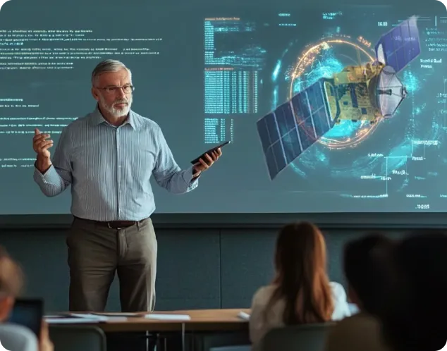
SAT Academics
The space industry is growing rapidly, but specialized skills remain scarce. SAT Academics provides practical training in satellite design, AI analytics, and space research, bridging academia and industry for the next generation of innovators.
Students & Researchers | Aerospace Professionals | Startups & Innovators | Academic Institutions